15 August, 2022 | 01:30 AM
https://www.dailynews.express/posts/weather-warning-orange-alert-issued-as-heatwave-burns-itself-out-and-thunderstorms-roll-in
Weather warning – orange alert issued as heatwave burns itself out and thunderstorms roll in
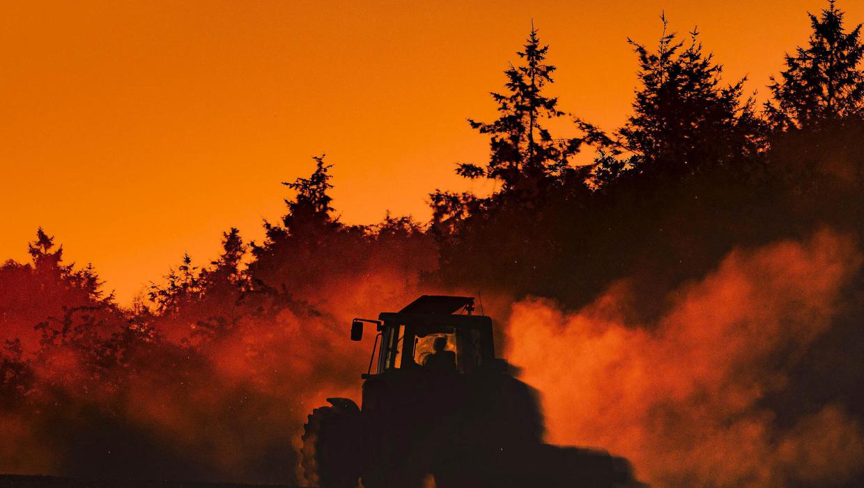
A Status Orange thunderstorm alert remains in place for the entire country this morning as thunderstorms rolled into many parts of the country last night. T he warning from Met Eireann remains in place until 9am today along with a Condition Orange Fire alert that will remain in place until midnight tomorrow as tinder dry conditions pose a high fire risk – especially from dead grass, heather and gorse. While the heat wave which began on Tuesday officially ended yesterday, with Oak Park in Co Carlow the national hotspot, recording a daytime high of 29.4C, Met Eireann said the entire country is at risk of sporadic thunderstorms from yesterday evening. A Status Orange Thunderstorm warning will also remain in place for all of Munster as well as counties Carlow, Kilkenny, Wexford and Wicklow from 9am today until 4pm. Other active thunderstorms with bands of lightning were also reported Met Eireann meteorologist Emer Flood said there were a number of very active thunderstorms moving across the country early yesterday evening. Read More Too hot to handle – 14 people treated as the heat takes its toll ‘He’s almost our Che Guevara’: From Michael Collins T-shirts to tourist trails, our fascination with the Big Fella endures A particularly active one dumped 20mms of rain in just 15 minutes in Castlerea, Co Roscommon early yesterday evening, she said. Other active thunderstorms with bands of lightning were also reported in counties Kerry, Cork and Limerick. “They’re in most regions and there will be further ones popping up across the country overnight but they will be hit and miss,” she told the Irish Independent. “They could be scattered anywhere overnight and into the early morning.” A Status Yellow High Temperature Warning will also remain in place until 6am today for all of Leinster and Munster as well as counties Cavan, Monaghan, Galway, and Roscommon where overnight temperatures were not expected to dip below 15C following another hot day with temperatures in the high 20s. Once the thunderstorms clear this morning, there will be a noticeable drop in temperatures and humidity from today. Daytime highs will range from 14C to 16C in the north and northwest and between 17C and 23C elsewhere. Tomorrow will be cooler and cloudier with scattered light showers and highest temperatures of 15C to 19C degrees, mildest in the south. Wednesday will be dry with a mix of cloud and sunny and hazy spells in the afternoon. Daily Digest Newsletter Get ahead of the day with the morning headlines at 7.30am and Fionnán Sheahan's exclusive take on the day's news every afternoon, with our free daily newsletter. Enter email address This field is required Sign Up Meanwhile, thousands of Irish Water customers in Co Kerry were without water overnight on Saturday following a burst on a major water main from the Lough Guitane Water Treatment Plant to Sheheree Reservoir on the Central Regional Water Supply Scheme in Co Kerry. Some restrictions may be ongoing in the coming days, according to the utility. Read More Too hot to handle – 14 people treated as the heat takes its toll ‘He’s almost our Che Guevara’: From Michael Collins T-shirts to tourist trails, our fascination with the Big Fella endures Related topics Climate Change Kilkenny news Waterford news Carlow news